
Business Details
50+ Years
experience
Expert Surveying & Spatial Data Services in Melbourne
Landair Surveys is a long-established land and aerial surveying and spatial company headquartered in Melbourne, serving the entire east coast of Australia. With a proud history dating back to 1974, we have built a reputation for delivering precise, high-quality data that drives informed decision-making across multiple industries. Our team of over 20 licensed and registered surveyors, photogrammetrists, CAD specialists, and technicians combines reliable data capture with evolving technology to support architects, government bodies, property consultants, construction and infrastructure, and landfill management organisations.As an ISO 9001 quality-certified company, we prioritise safety, accuracy, and environmental responsibility, actively participating in carbon-neutral programs and supporting industry partnerships to address skills shortages. Our clients consistently highlight our exceptional service, thorough work, and unparalleled flexibility, making us the preferred surveying partner for complex projects across Australia.
Services
Aerial Mapping
3D Reality Capture
Boundary Definition
Topographic Surveys
Volume Calculations
Heritage Documentation
Underground Utility Mapping
Lease Area Reporting
Hydrographic Surveys
Landfill Monitoring
Details
- Year established: 1974
Highlights and features
- We have over 50 years of experience in aerial and terrestrial surveying.
- Our team includes 20+ licensed surveyors and photogrammetrists with industry-specific expertise.
- We utilise ISO 9001-certified workflows for guaranteed quality control.
- We offer rapid deployment and fast turnaround times for time-sensitive projects.
- We provide millimetre-accurate 3D laser scanning and reality capture solutions.
Associations and certifications
- ISO 9001
What people say
Second to none
Accurate and professional
Excellent response times
Tremendously flexible
Best in the business
Services
Aerial Mapping
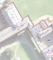
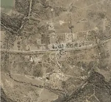
Landair Surveys conducts high-resolution aerial mapping using drones and crewed aircraft. This service provides detailed orthophoto mosaics, digital elevation models, and multi-band imagery for urban planning, environmental assessments, and infrastructure projects. Our advanced equipment ensures cloud-free, accurate data collection across large or inaccessible sites.
3D Reality Capture
Using stationary and mobile laser scanners, we create precise 3D models and point clouds for architectural, heritage, and construction projects. Our technology captures millimetre-accurate data for floor plans, faade elevations, and structural analysis. Deliverables include Revit and AutoCAD files for seamless integration into design workflows.
Boundary Definition
We provide registered boundary surveys to define property lines, easements, and encroachments. Our licensed surveyors use total stations and GNSS receivers to ensure compliance with legal requirements. This service supports property transactions, development approvals, and dispute resolution across Victoria and New South Wales.
Volume Calculations
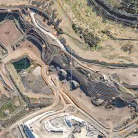
Landair Surveys calculates material volumes for construction, mining, and landfill operations. Using drone photogrammetry and ground-based surveys, we generate accurate surface models to track stockpile changes, plan earthworks, and monitor landfill airspace consumption. Our methods meet regulatory reporting standards.
Heritage Documentation
Specialising in heritage sites, we use 3D laser scanning to capture intricate architectural details for conservation and restoration. Our surveys produce detailed elevation plans, roof imagery, and condition assessments. Clients benefit from precise data that supports grant applications, compliance with planning frameworks, and heritage preservation.
People
Erik Birzulis
Managing Director
Erik leads Landair Surveys with extensive experience in spatial data and surveying. He oversees operations, ensuring technical excellence and client satisfaction across all projects.
Questions
What surveying technologies does Landair use?
We use static and mobile laser scanners, drones, total stations, and GNSS receivers to ensure accuracy across all projects.
Do you provide services outside Melbourne and Sydney?
We operate across the entire east coast of Australia, including regional Victoria and New South Wales.
How accurate are your 3D laser scanning services?
Static scanners achieve +/- 3-5mm accuracy, while mobile systems maintain +/- 10-15mm precision.
Can you handle urgent surveying requests?
Yes, we prioritise fast turnaround times and often complete fieldwork within a day for time-sensitive projects.
Are your surveyors licensed and certified?
All our surveyors are licensed, with ISO 9001-certified workflows and public liability insurance coverage.
What industries do you work with?
We serve architects, government agencies, property consultants, construction firms, and landfill operators.
Videos