
Business Details
35 Years
experience
Professional Land Surveying & Development Services on the Central Coast
Established in 1991, Barry Hunt Associates has built a reputation as a trusted multi-disciplined surveying firm serving the Central Coast region. Our expertise spans land surveying, subdivision planning, engineering setouts, and infrastructure monitoring, with a focus on precision and client satisfaction. We specialise in delivering detailed contour surveys for architectural and civil design projects, ensuring accurate representation of land features and utilities. Our team provides comprehensive building setout services, marking physical boundaries and offsets to guide construction works. We manage subdivision projects from initial planning advice through to registered plans with LANDS NSW, ensuring compliance with regulatory requirements.With accredited hydrographic surveying capabilities, we monitor water infrastructure and conduct dilapidation assessments for public utilities. Our engineering survey services support road, drainage, and civil construction projects, including 24/7 availability for critical works. We prioritise technical excellence and maintain ongoing client communication to ensure project success. Our experience with Central Coast Council projects demonstrates our commitment to local infrastructure development. As registered professionals, we combine decades of local knowledge with advanced surveying technology to deliver reliable, actionable data for residential, commercial, and government clients.
Services
Detail Surveys
Contour Mapping
Building Setouts
Subdivision Planning
Engineering Surveys
Infrastructure Monitoring
Hydrographic Surveys
Dilapidation Reports
Details
- Year established: 1991
Highlights and features
- We have over 30 years of local surveying expertise on the Central Coast
- Our multi-disciplined team handles projects from small residential to major infrastructure
- We offer 24/7 availability for urgent engineering survey requirements
- Our hydrographic survey accreditation covers water infrastructure monitoring
- We provide end-to-end subdivision services with LANDS NSW registration
Associations and certifications
- Registered Surveyors
- Accredited Hydrographic Surveyor
Services
Detail Surveys
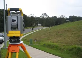
Our detail surveys map existing land features including topography, utilities, and structures. This critical data supports architectural design and civil engineering projects. We use advanced equipment to ensure precise measurements for development planning.
Building Setouts
We accurately mark building corners and offsets to guide construction works. Our setout reports ensure compliance with development approvals. This service supports residential, commercial, and civil engineering projects with boundary verification.
Subdivision Planning
From initial feasibility studies to registered plans, we manage subdivision projects. Our services include council DA preparation, boundary marking, and final plan registration with LANDS NSW for compliant land division.
Engineering Surveys
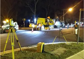
We provide survey support for civil infrastructure projects including roads, drainage, and utilities. Our services cover design setout, as-constructed verification, and compliance certification throughout construction phases.
Hydrographic Surveys
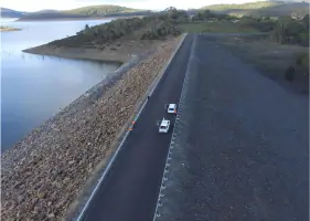
As accredited hydrographic surveyors, we map water infrastructure including dams, rivers, and coastal areas. This service supports dredging operations, environmental assessments, and structural monitoring of water-related assets.
Questions
What surveying services do you offer?
We provide detail surveys, building setouts, subdivisions, engineering surveys, infrastructure monitoring, and hydrographic surveys for residential, commercial, and government projects.
How long have you operated on the Central Coast?
Barry Hunt Associates has provided surveying services since 1991, with extensive local knowledge and experience across the Central Coast region.
Can you handle urgent surveying requirements?
Yes, our team offers 24/7 availability for critical engineering survey works and emergency infrastructure assessments.
Do you manage subdivision projects from start to finish?
We provide complete subdivision services including feasibility studies, council applications, boundary marking, and final plan registration with LANDS NSW.
Are you qualified for water infrastructure surveys?
Yes, we hold accreditation as hydrographic surveyors, specialising in dam monitoring, waterway mapping, and dilapidation assessments for aquatic infrastructure.